Pine Mountain, Repack Road Ride, & a hike in the Marin Headlands

A very warm day's ride.
For the ride report, click on the image or here.
---
As there was an hour before sunset, I managed to squeeze in a short hike to the top of Hill 88 in the Marin Headlands after the ride.
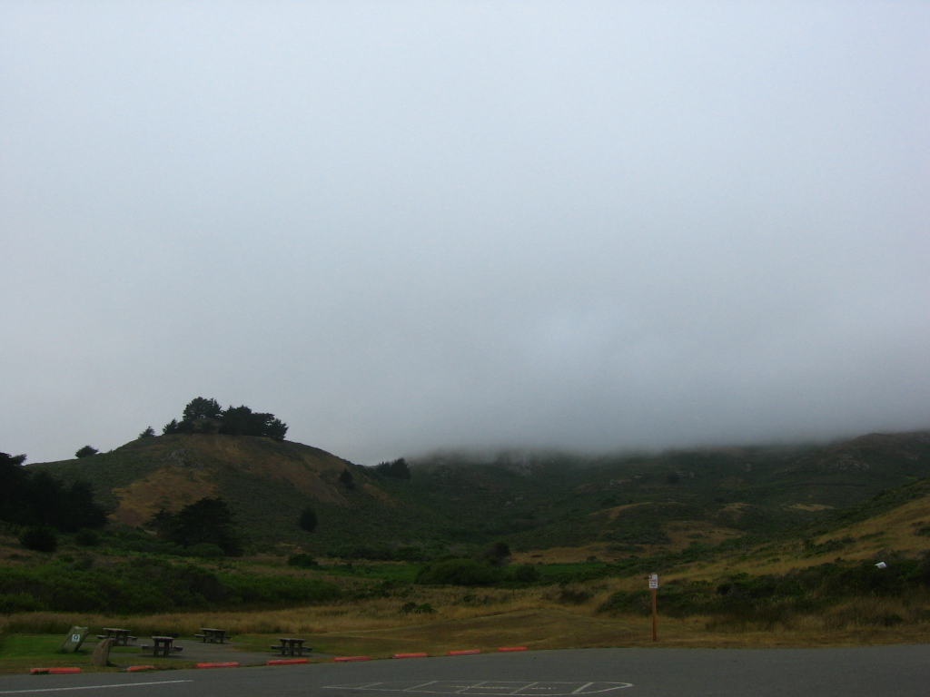 From the parking lot at Fort Cronkhite. Hill 88 is lost in the fog somewhere up there.
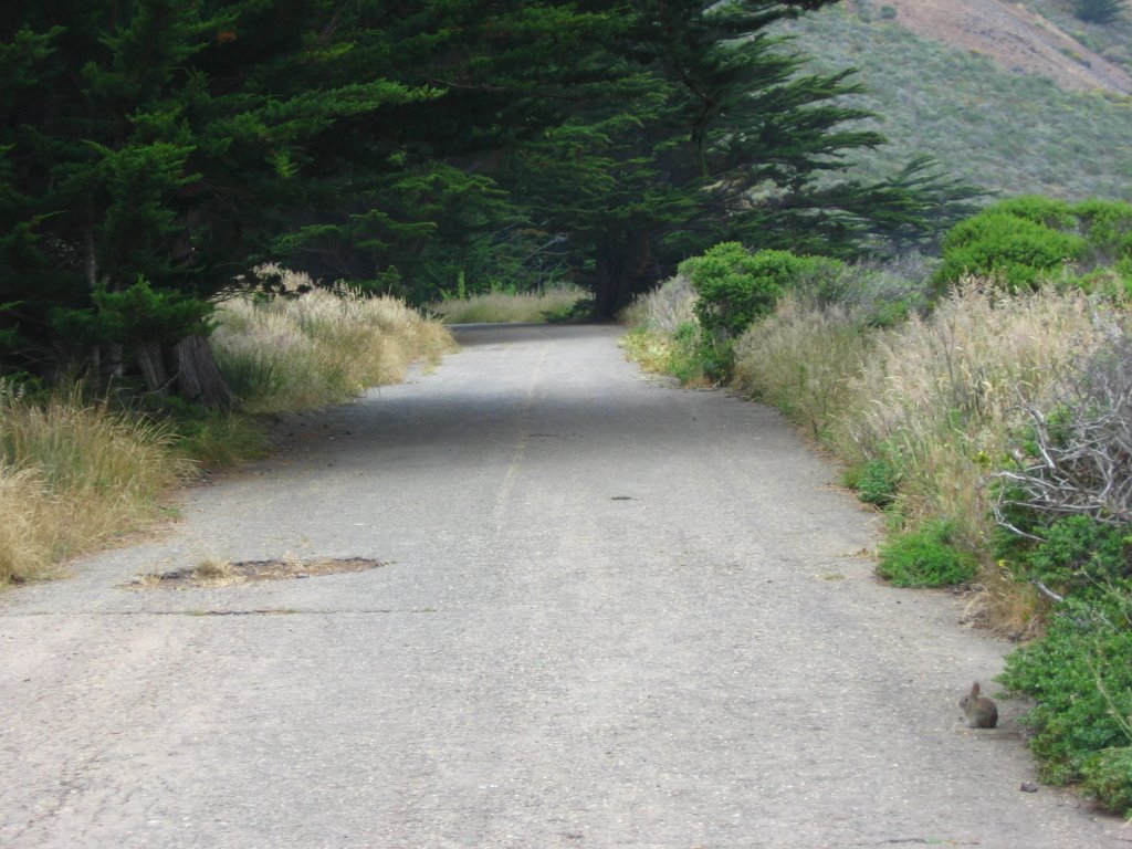 The road leading up. (Notice the little bunny on the lower right?)
 There's a choice of a scenic dirt trail, or the faster asphalt road.
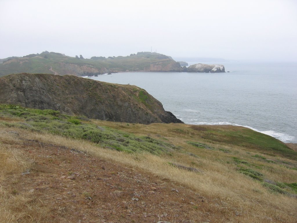 Point Bonita Lighthouse in the distance.
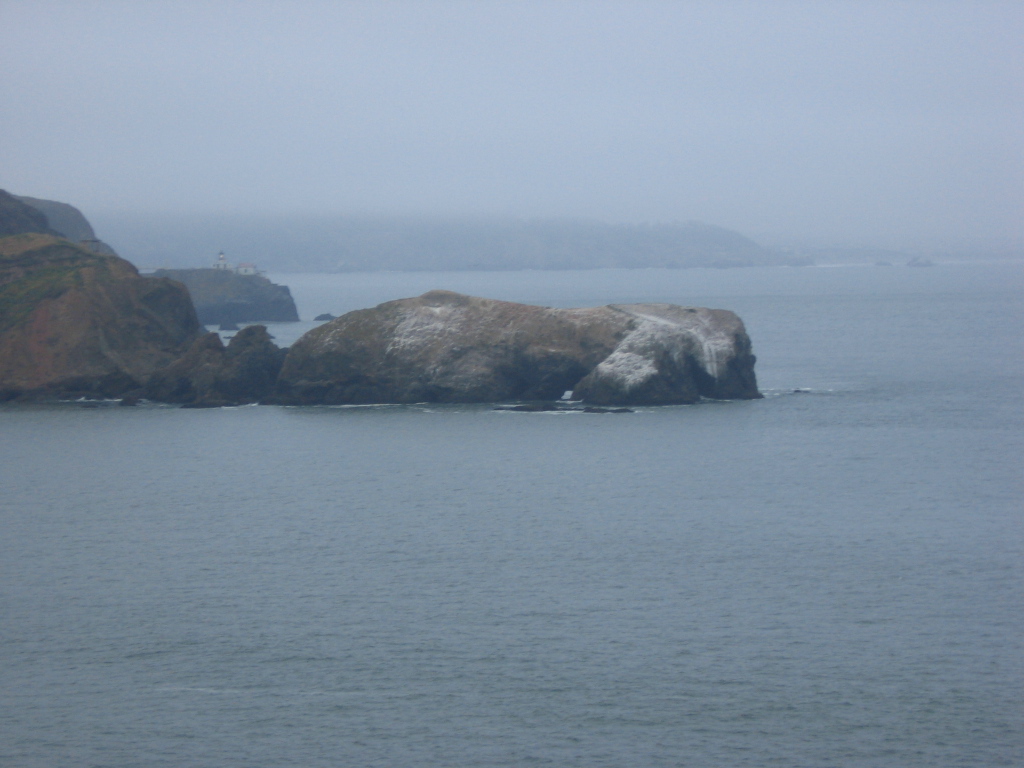 Close up.
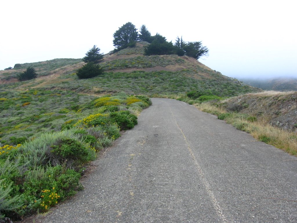 The old fortifications of Battery Townsley lie beyond the trees.
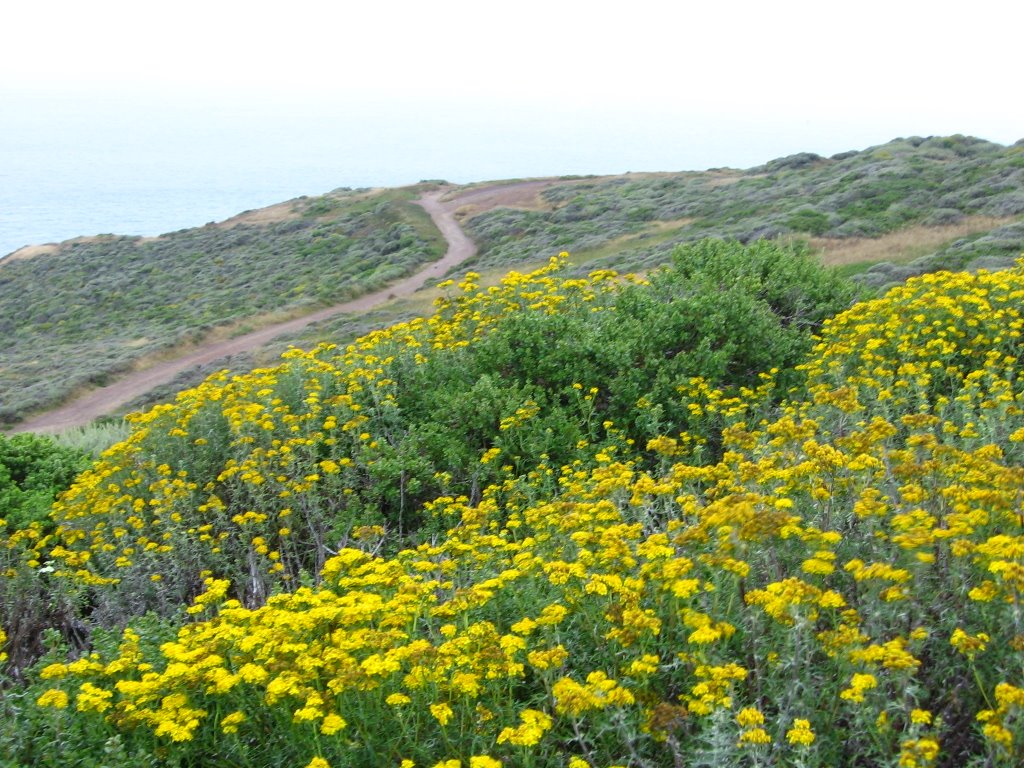 Another trail paralleling the coast.
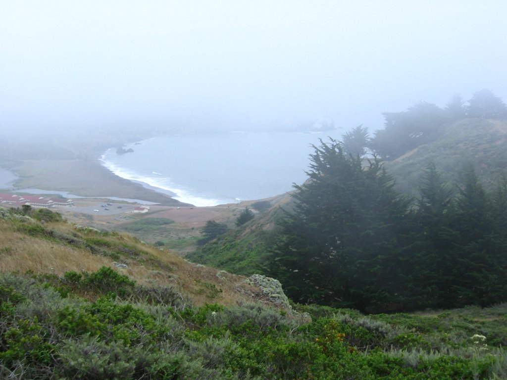 Climbing into the fog. Rodeo Beach and Fort Cronkhite below.
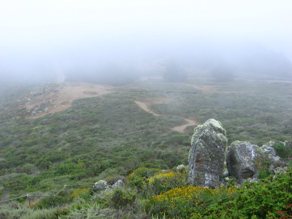 Climbing up the steps. This dirt section bypasses a collapsed section of the road.
 A large section of the road disappeared in a landslide 9 years ago (hence the steps and dirt bypass trails).
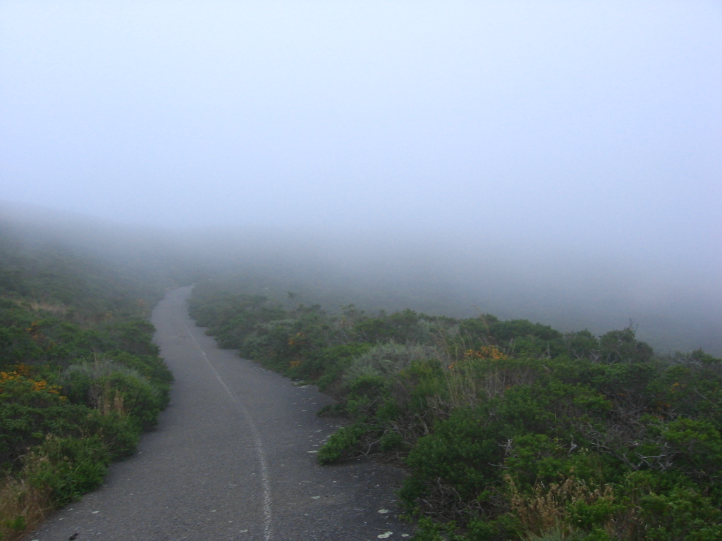 Turning right after the stairs and dirt section. There is another short, rutted, dirt bypass after this, then it is all asphalt to the summit.
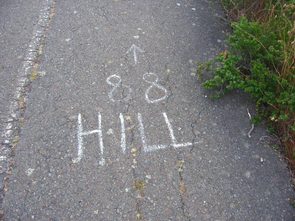 What it says.
 Walking through a windy pass.
 And foggy too.
 Elevation 816 ft.
 Junction: Wolf Ridge Trail (leading eastwards to Miwok Trail) terminates on the right; also on the right, leading northwards, is the portion of Coastal Trail descending steeply to Tennessee Valley. Both are closed to bicycles.
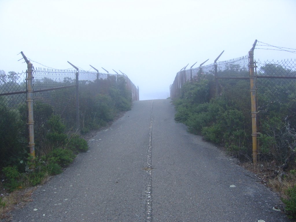 Final approach to Hill 88.
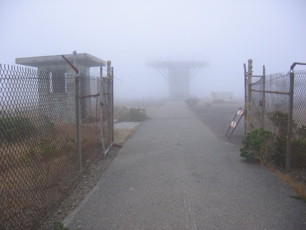 Elevation 960 ft. Summit of Hill 88.
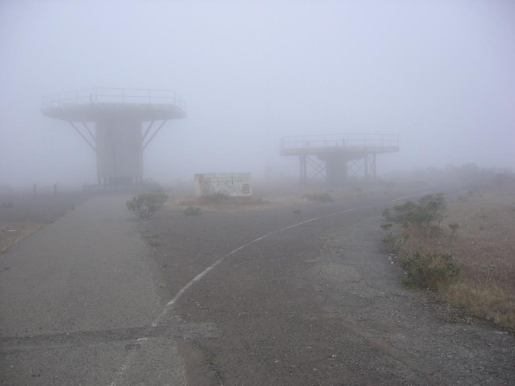 Constructed in the mid-1950s, these structures used to be radar beacon platforms for the Nike surface-to-air missiles. Armed with nuclear warheads, the second generation Nike Hercules missiles were designed to take out several Russian bombers at once. When intercontinental ballistic missiles (ICBMs) were invented, these sites became redundant and were abandoned.
 The Oozlefinch.
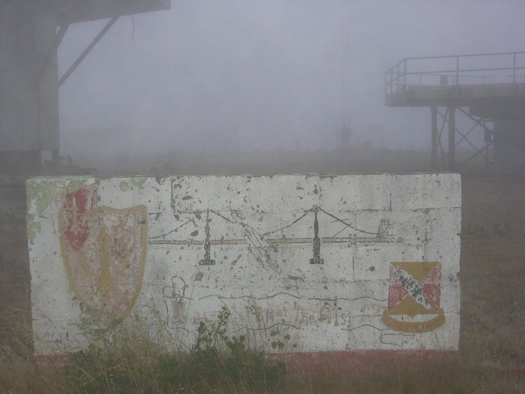 What's left today.
Thomas Sturm has an interesting blurb about this place:
There is always something special about visiting abandoned sites like this - filled with the ghosts of a past that is visibly slipping away, a steady reminder that nothing of our physical presence, not even concrete and steel, will survive for more than a few generations.
Mae has a a different take on this.
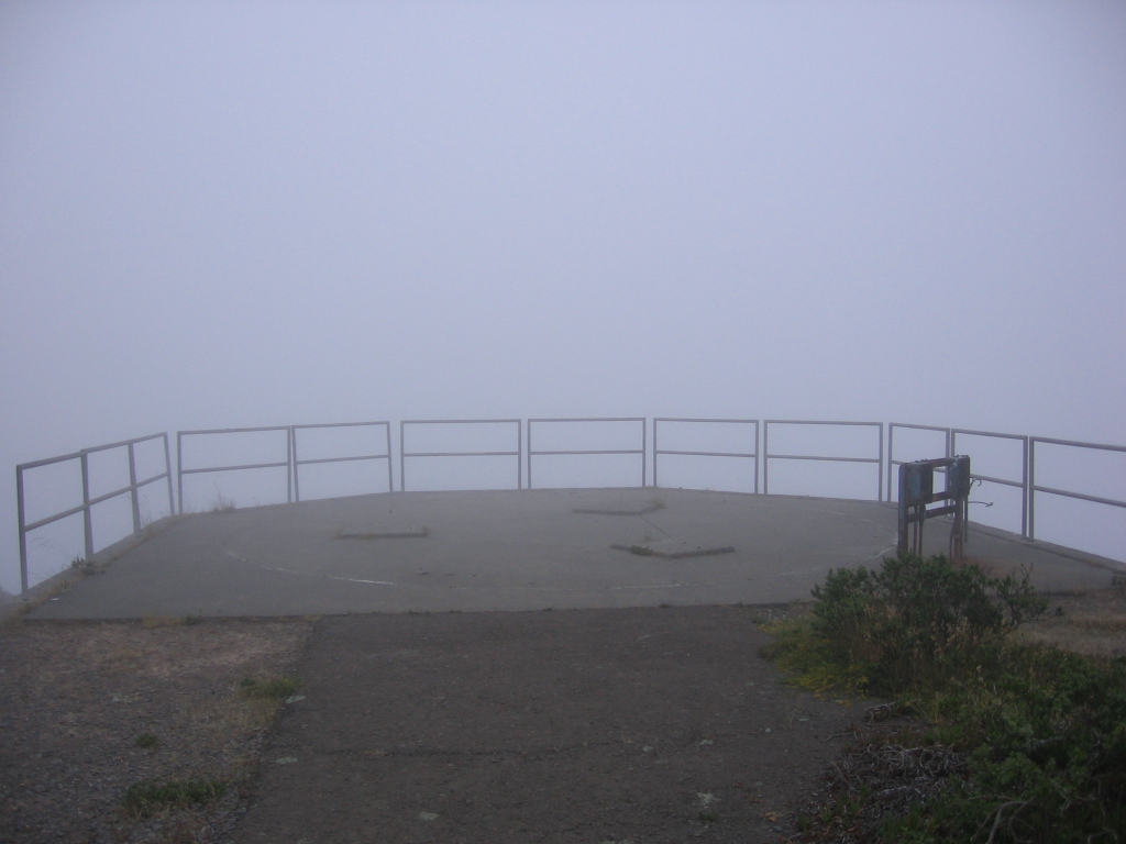 My usual lunch / snack / tea spot.
What it looks like when there is no fog.
 On a clear day, you can see San Francisco, Twin Peaks, Pacifica, Fort Cronkhnite, Rodeo Beach, Point Bonita, and the Golden Gate Bridge from here, but there is also something special about hiking up here in the fog.
The temperature is a nice 57 F (13.9 C), much more pleasant than the 107 F (41.7 C) on Pine Mountain earlier.
The view on a clear day.
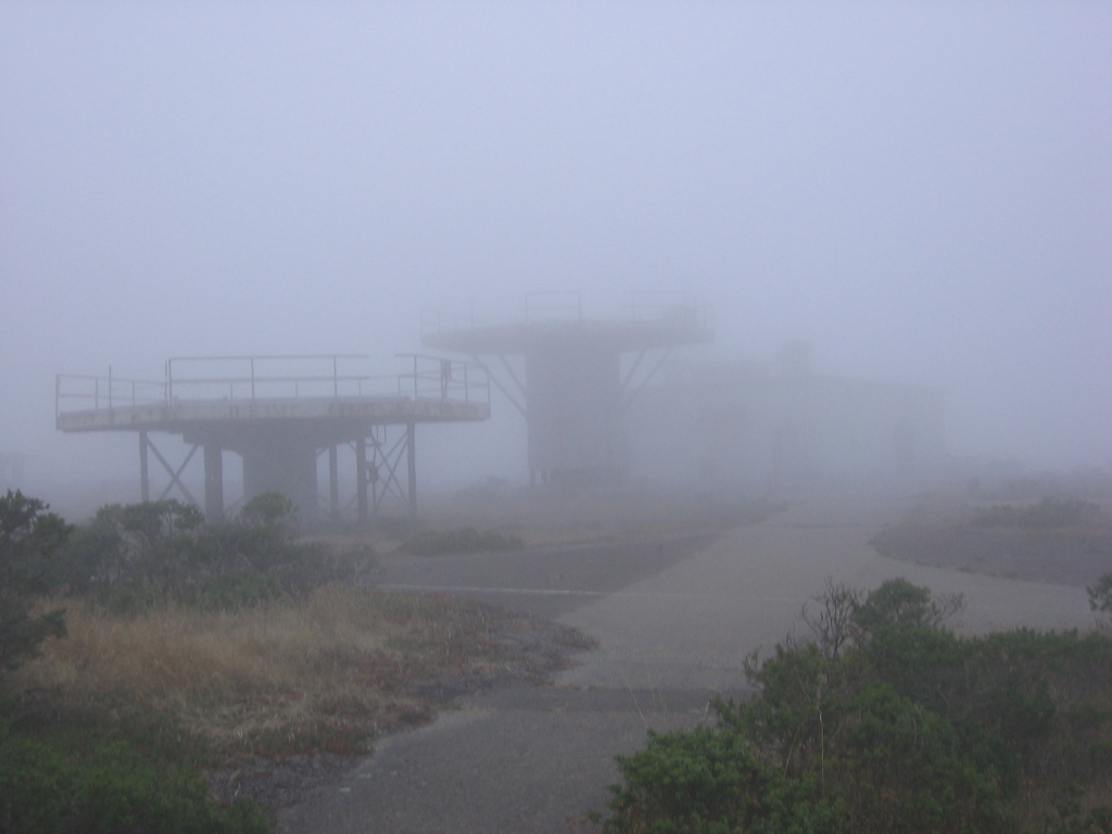 A final look around before descending.
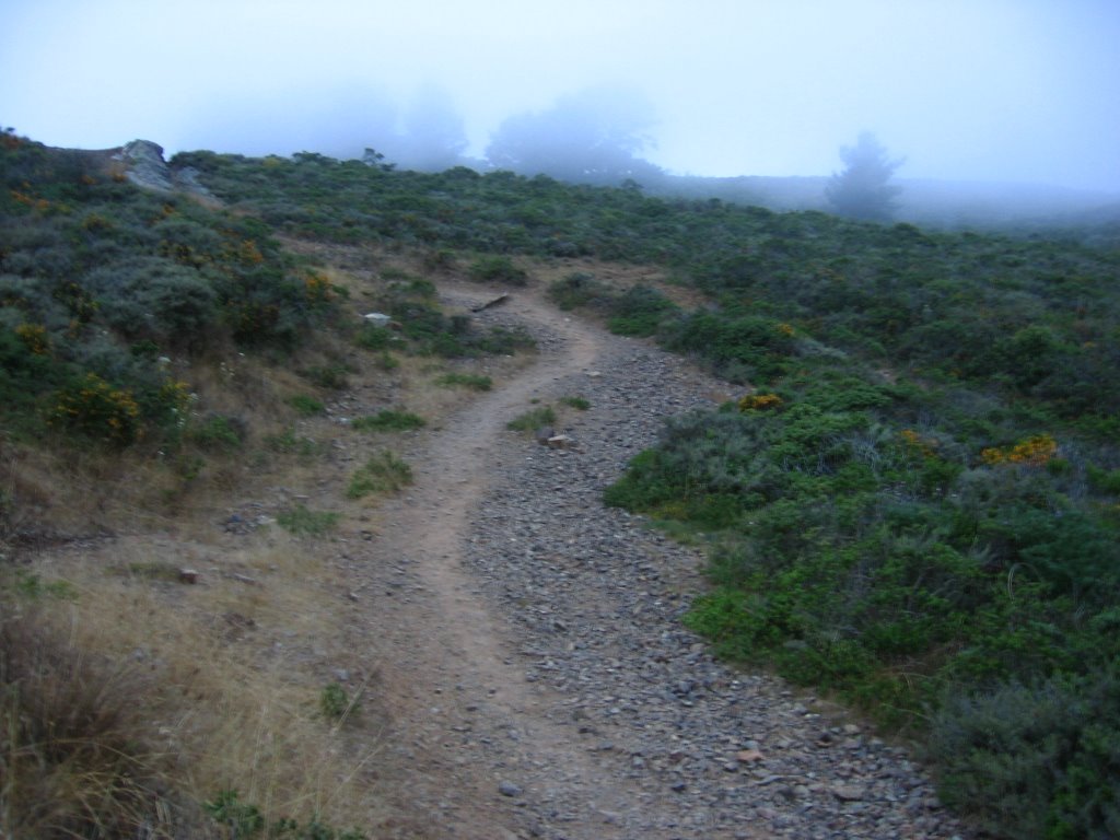 This trail is open to bicycles, but the effort involved in carrying bicycles up and down the steep and narrow flight of stairs; the fact that the trail dead ends at Hill 88 with no legal way down other than the same path; and the short distance (under 3.5 miles); reduce bike traffic to about zero.
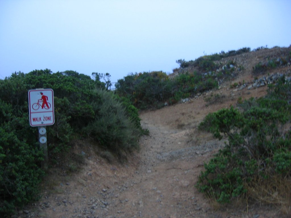 Signs on either end of the stairs remind cyclists to dismount.
 The stairs.
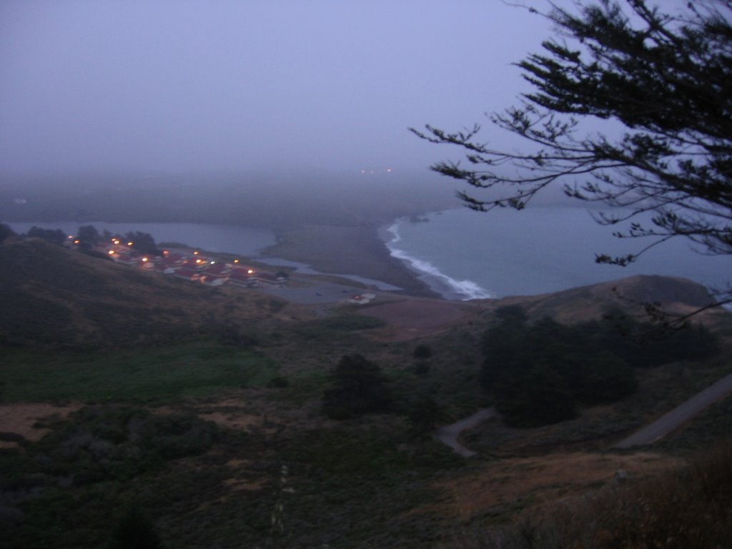 Emerging from the fog layer and looking at Fort Cronkhite, my car in the parking lot, Rodeo Lagoon, Rodeo Beach, and the road leading down.
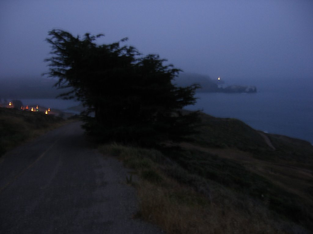 Final descent to Fort Cronkhite. Point Bonita Lighthouse is visible to the right of the tree.
 Rodeo Beach at dusk.
There is a meditative quality to hiking alone in the fog. You continue to hear birds sing, bunnies and salamanders rustle in the shrubs, but a cotton-white haze prevents you from seeing them. It is all at once surreal, dreamy--soothing--and yet, a little worrying: now that you are not watching, is anyone watching you?
Hike conducted solo.

0 Comments:
Post a Comment
<< Home