
Limantour Beach Hike
Prologue
22 April, 2006
It is 12:16 AM. The snorers are still here. They have reinforcements tonight too: a guy who moans and
But I stayed. And so, I didn't sleep--at all--again.
---
The next day, I am too tired to attempt the Mount Vision Loop ride that I planned. Plan B is an easy hike along Limantour Beach and Limantour Spit during low tide.
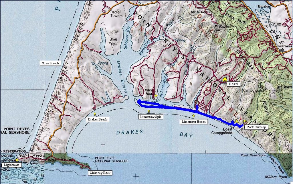 1659 track points (blue diamonds) laid by the GPS unit.
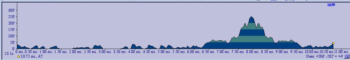 TOPO!'s elevation profile.
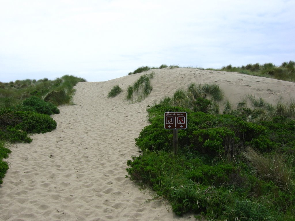 No dogs allowed on the west side of the beach.
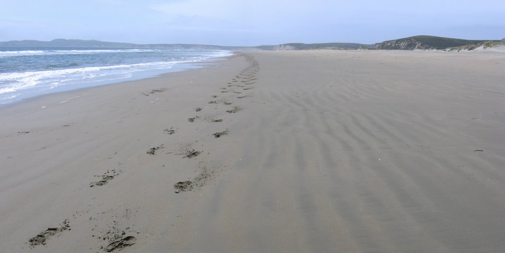
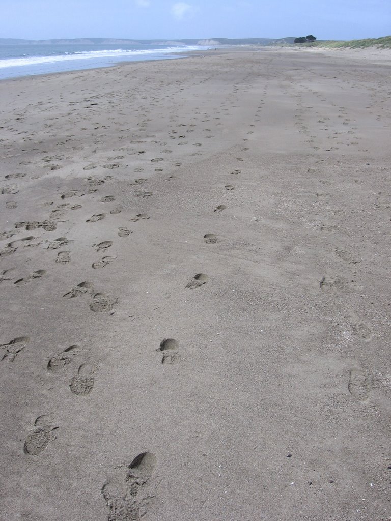 Heading west on Limantour Beach.
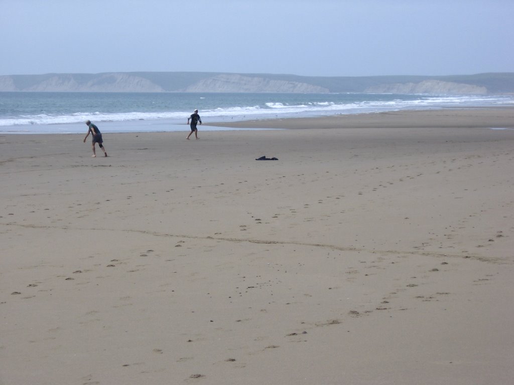 Two men playing frisbee on the secluded beach.
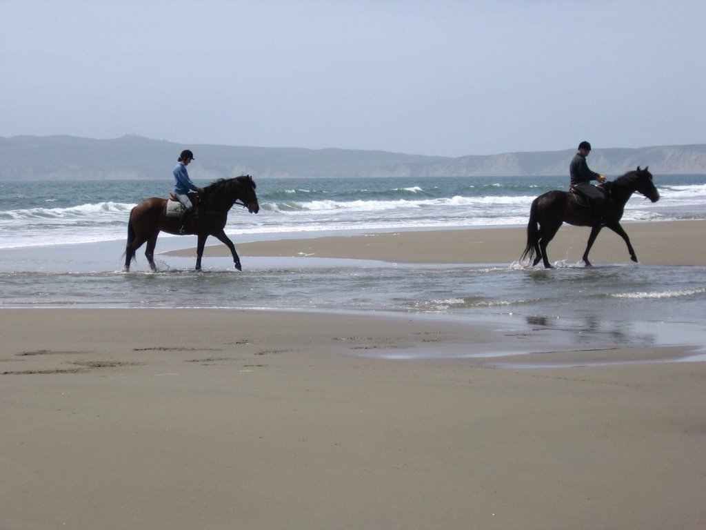
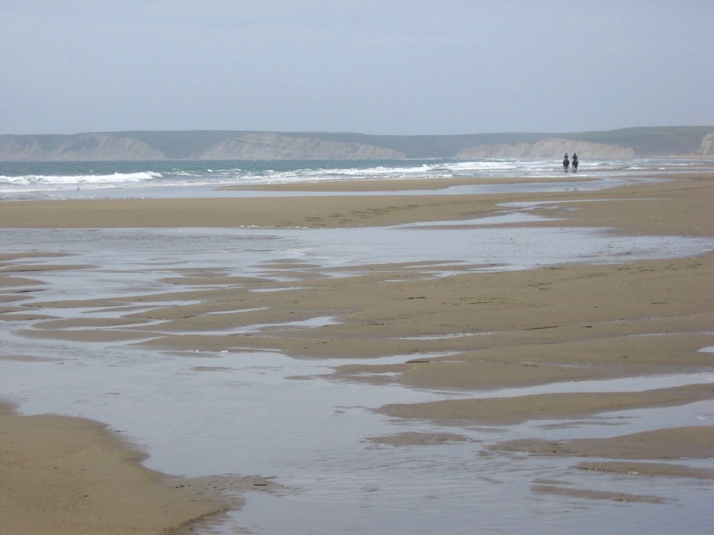 Equestrians on the beach.
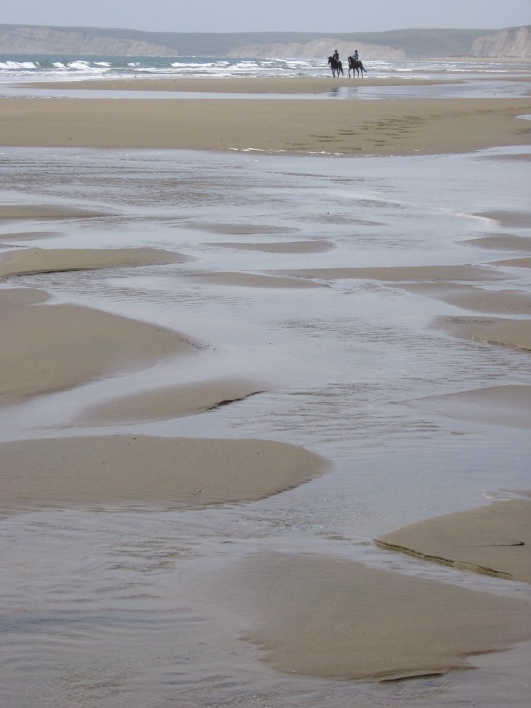

 Their tracks.
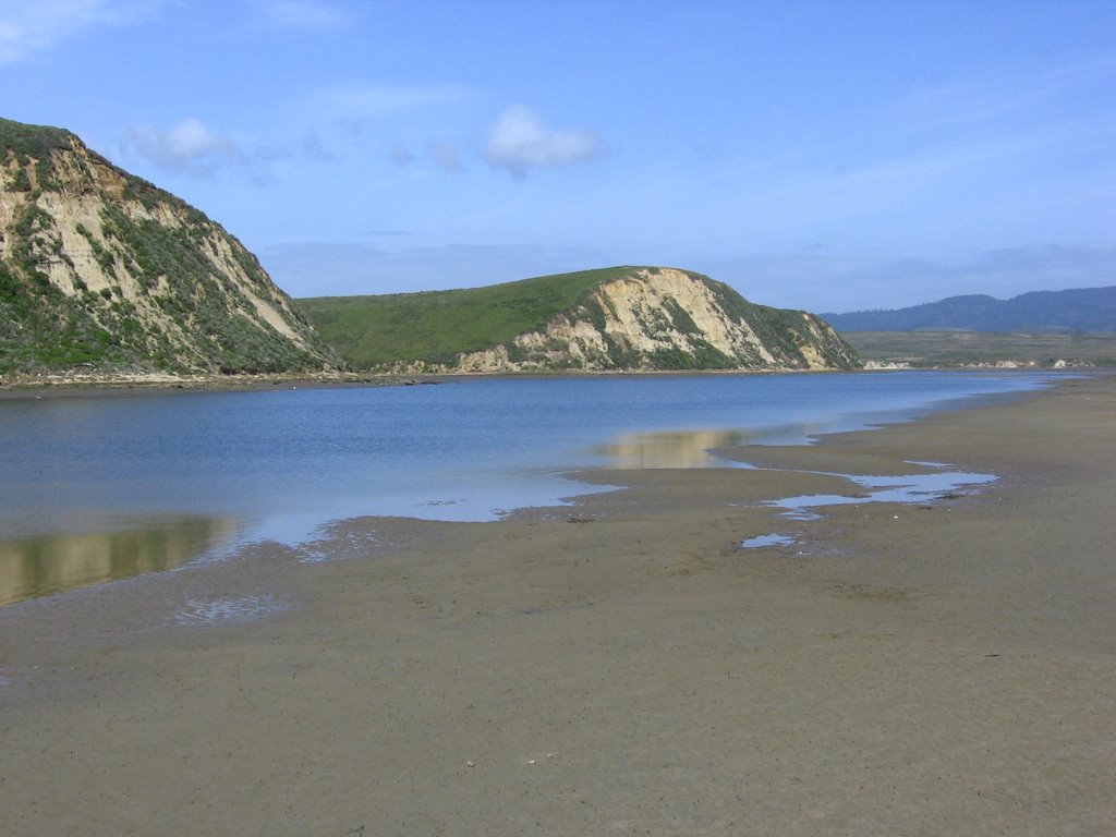
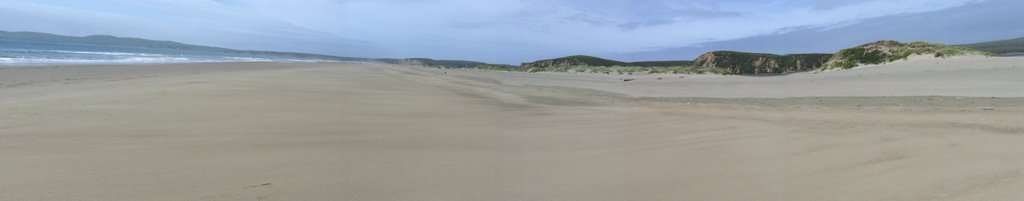 Heading west on Limantour Spit. Drakes Head is on the right.
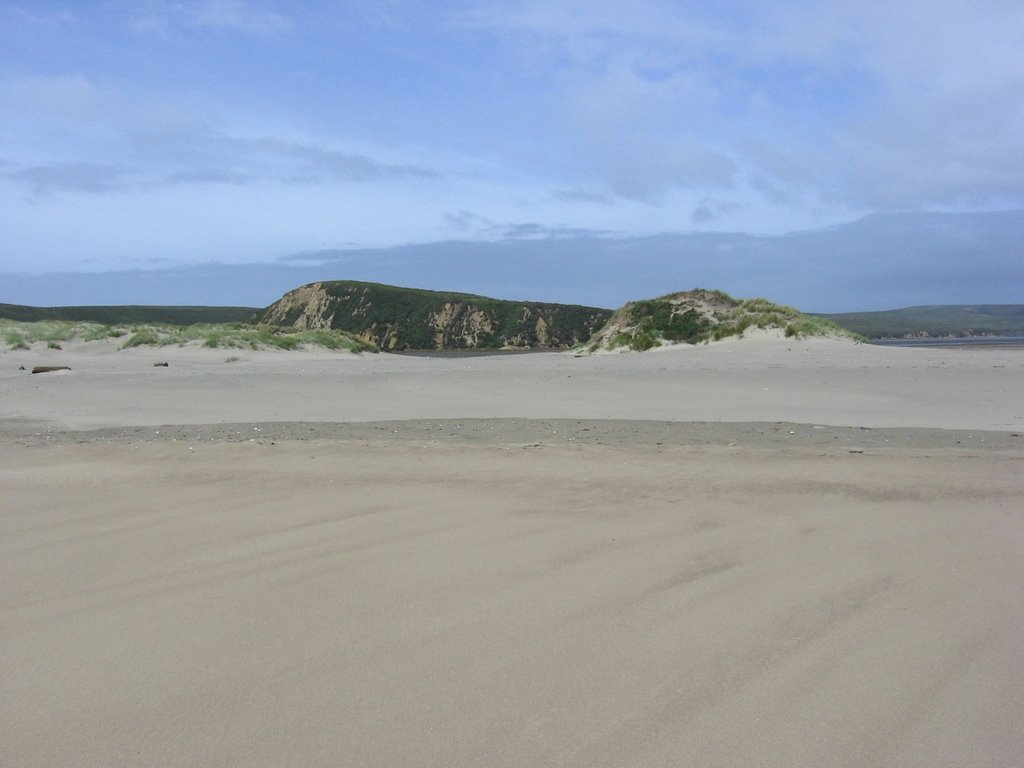 A closer look at Drakes Head, as viewed from the south side of Limantour Spit (beach facing the ocean).
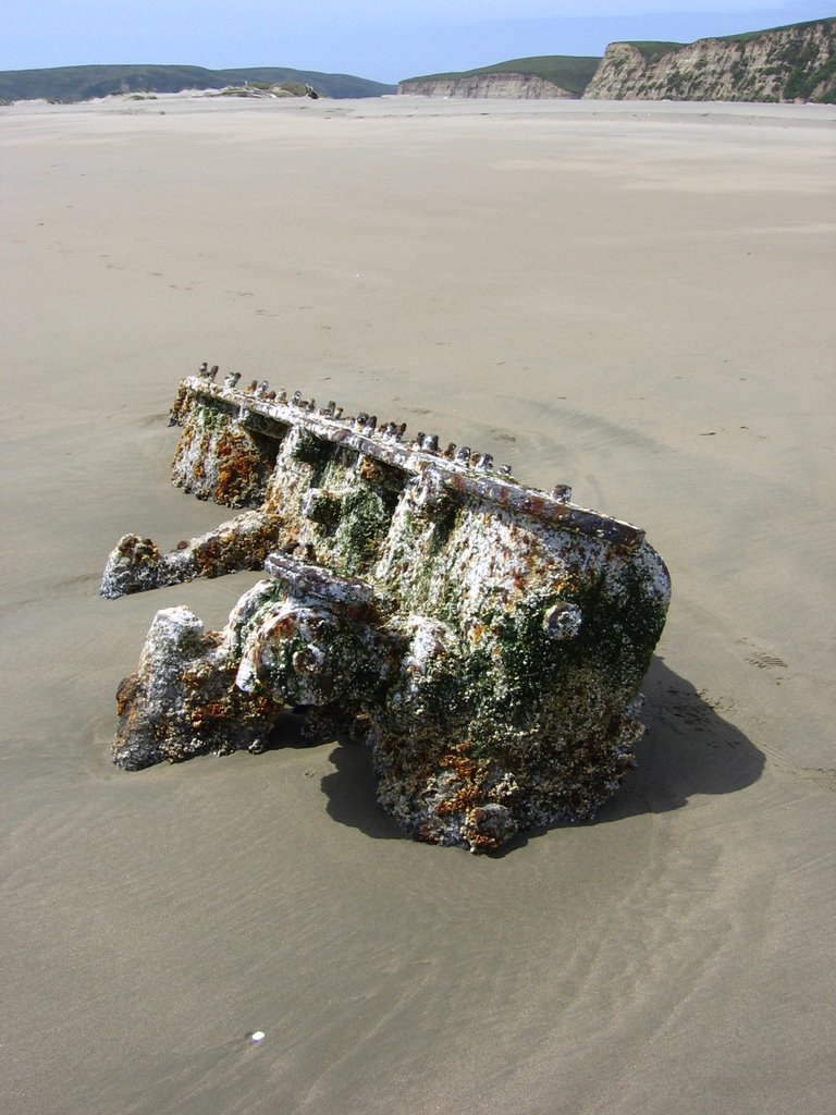 Something the waves washed up during a storm. It is more than 10 feet long and is made of cast iron, by the way.
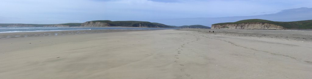 The end of Limantour Spit and the ocean's entrance to Drakes Estero (see map).
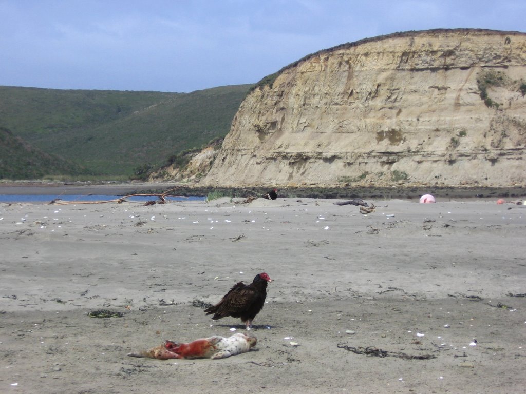 Turkey Vulture feeding on a dead Harbor Seal pup.
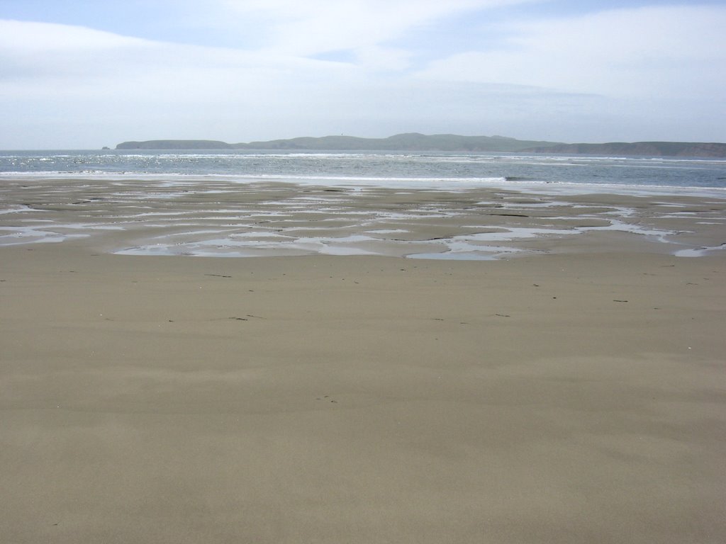 Chimney Rock in the distance.
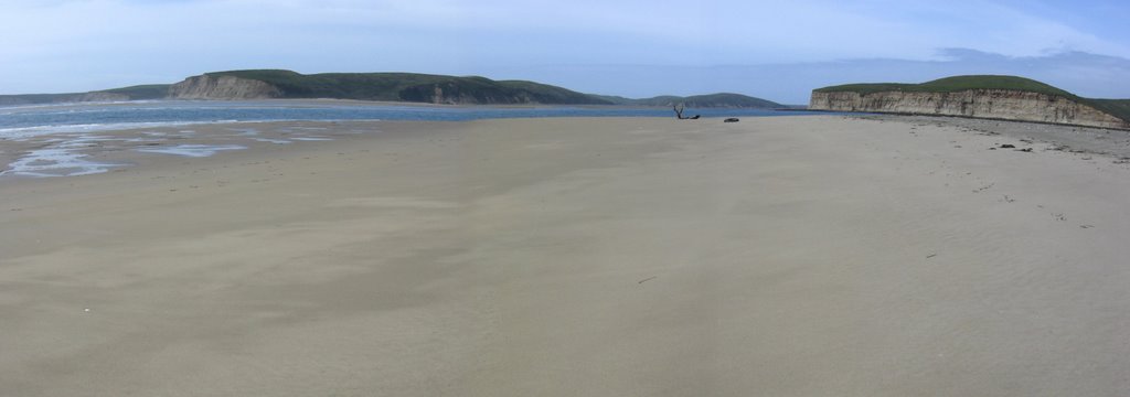 The inlet to Drakes Estero. The cliffs of Drakes Beach on the left, the cliffs of Sunset Beach on the right.
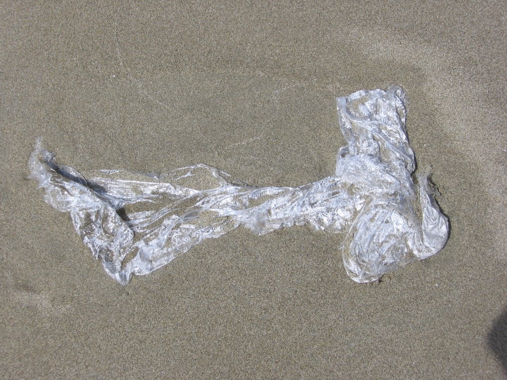 Why releasing balloons or carelessly disposing plastic bags is a bad idea. Marine Turtles cannot tell the difference between a plastic bag or the remnants of a balloon from...
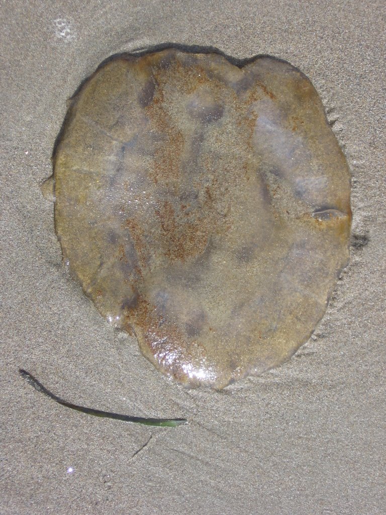 a jelly fish. Plastic bags or balloon fragments end up clogging the intestines of Marine Turtles, and the poor creatures, unable to eat, slowly starve to death.
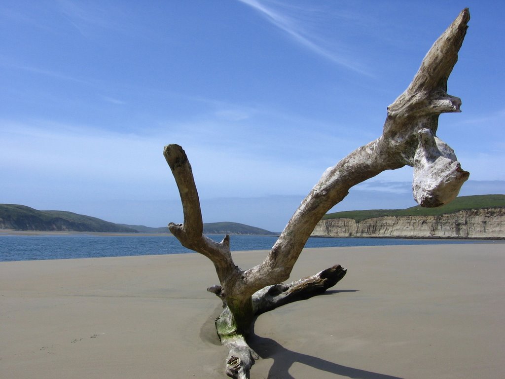 Fooling around a piece of driftwood.
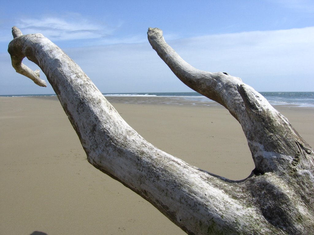 Fooling around a piece of driftwood II.
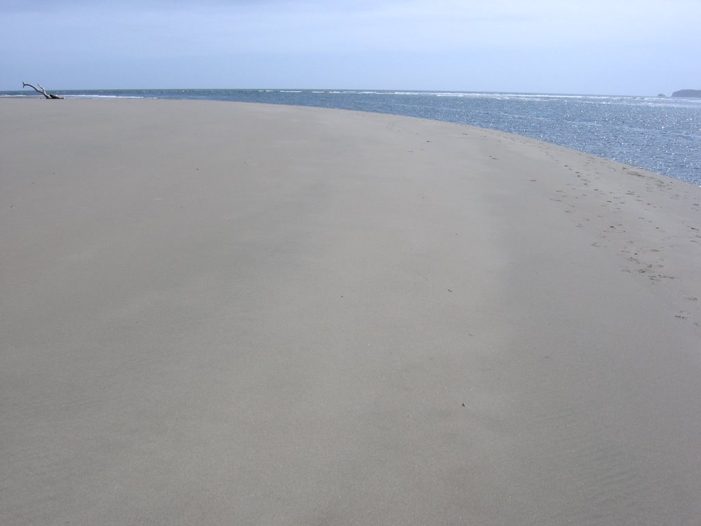 At the very end of Limantour Spit. The inlet / channel to Drakes Estero is to the right.
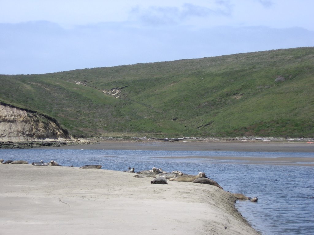 Heading back east. Harbor Seals (Phoca vitulina) basking in the sun.
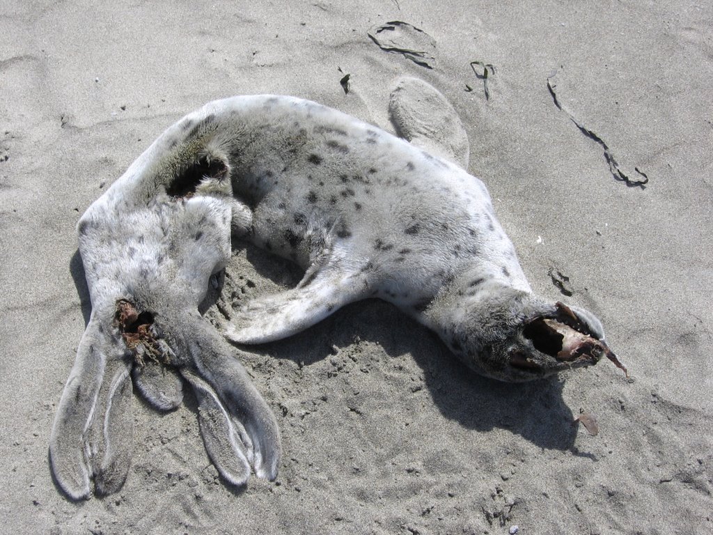 The desiccated body of an abandoned Harbor Seal pup.
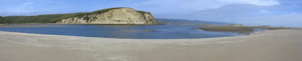 Panorama of the northern side of Limantour Spit.
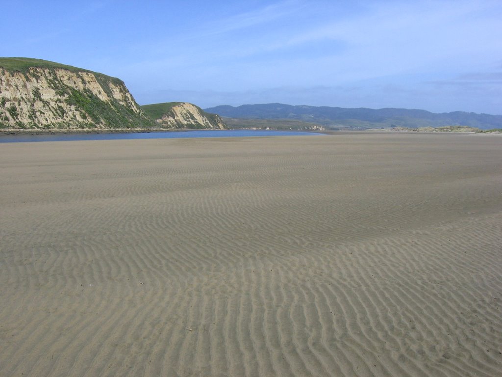 Drakes Head.
The promontories of Drakes Head.
 Approaching Drakes Head.
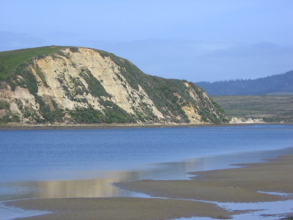 Drakes Head as views from Limantour Spit. Less than 24 hours ago, I was standing on top and looking down.
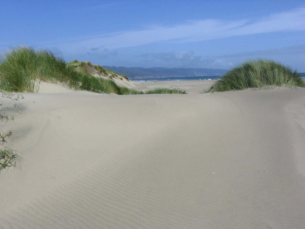 Beach grass dominate the plant community. The grasses were introduced to the Pacific coast of the United States from Australia (but originally from the Mediterranean) in 1896 to stabilize sand dunes in San Francisco on the site that eventually became Golden Gate Park. Beach grass serves to retard sand drift, forming dunes parallel to the beach.
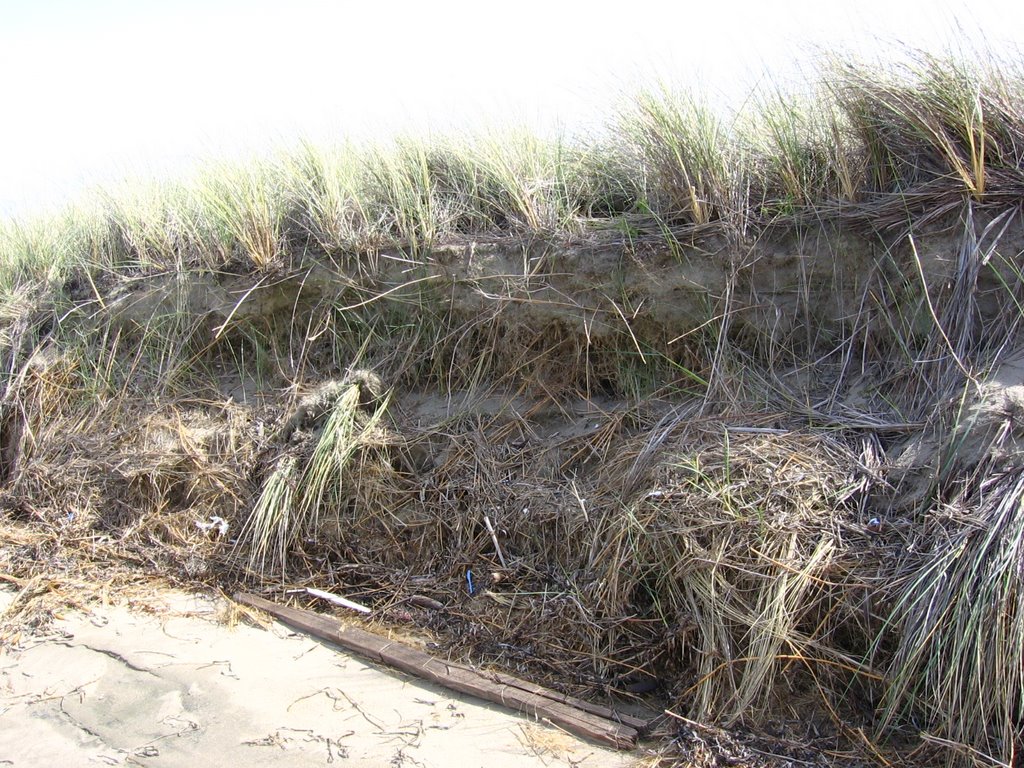 Notice that the roots of the beach grass are as long as the stalks. This helps it to hold on to the loose sand better.
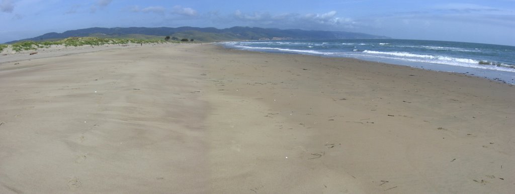 Heading back
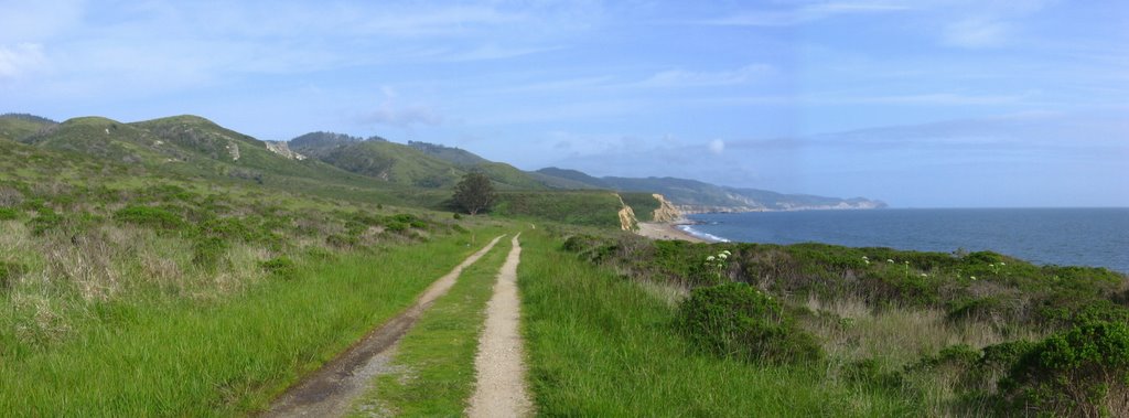 As there is 2 hours before sunset, I decided to check out that rock outcrop I missed on the Coast Trail Ride.
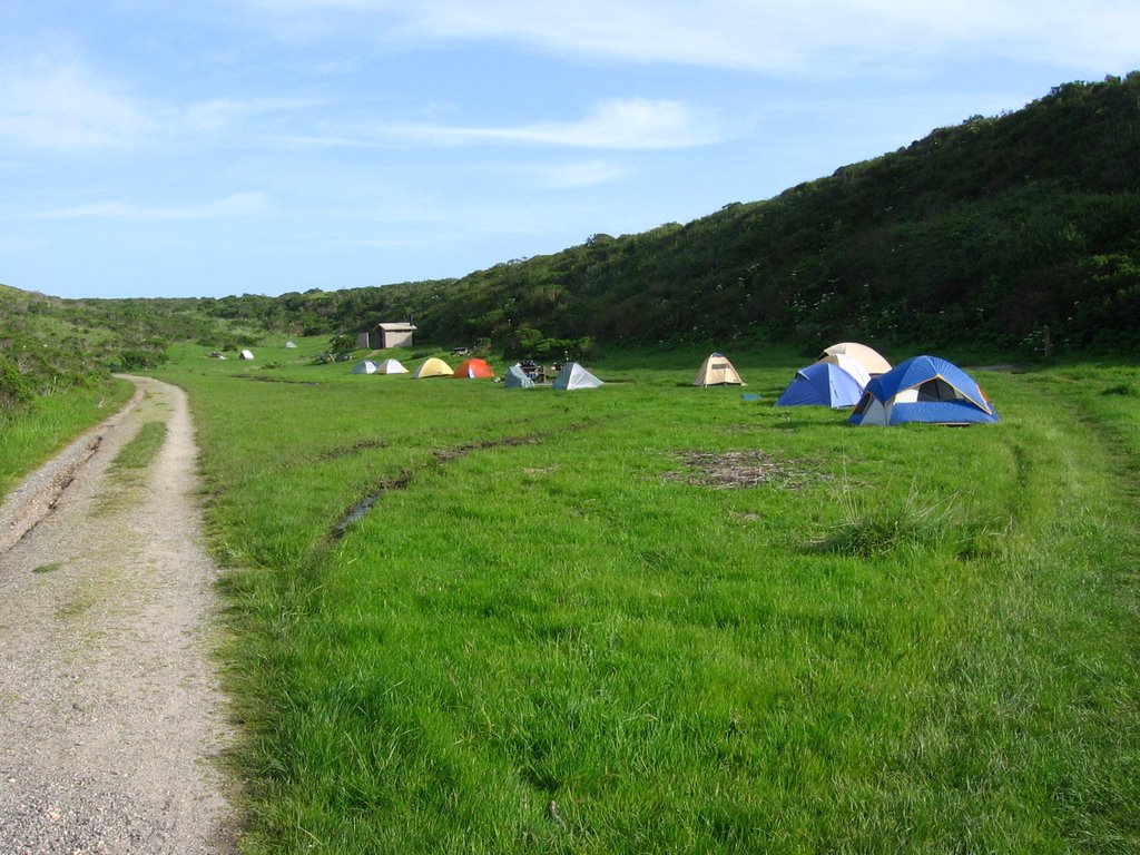
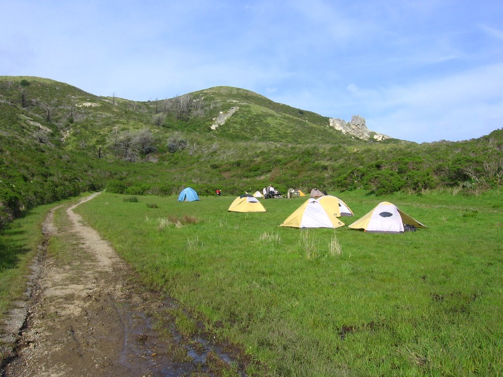 Coast Camp is crowded on this sunny Saturday.
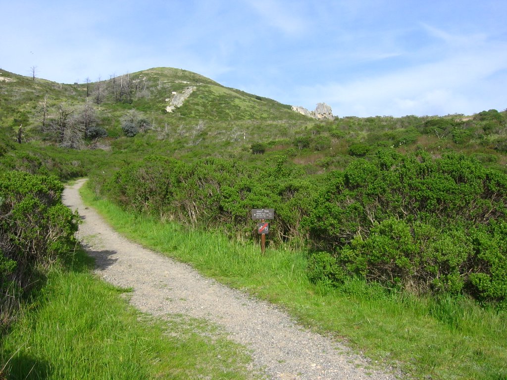 This looks familiar.
 An overgrown (illegal) trail.
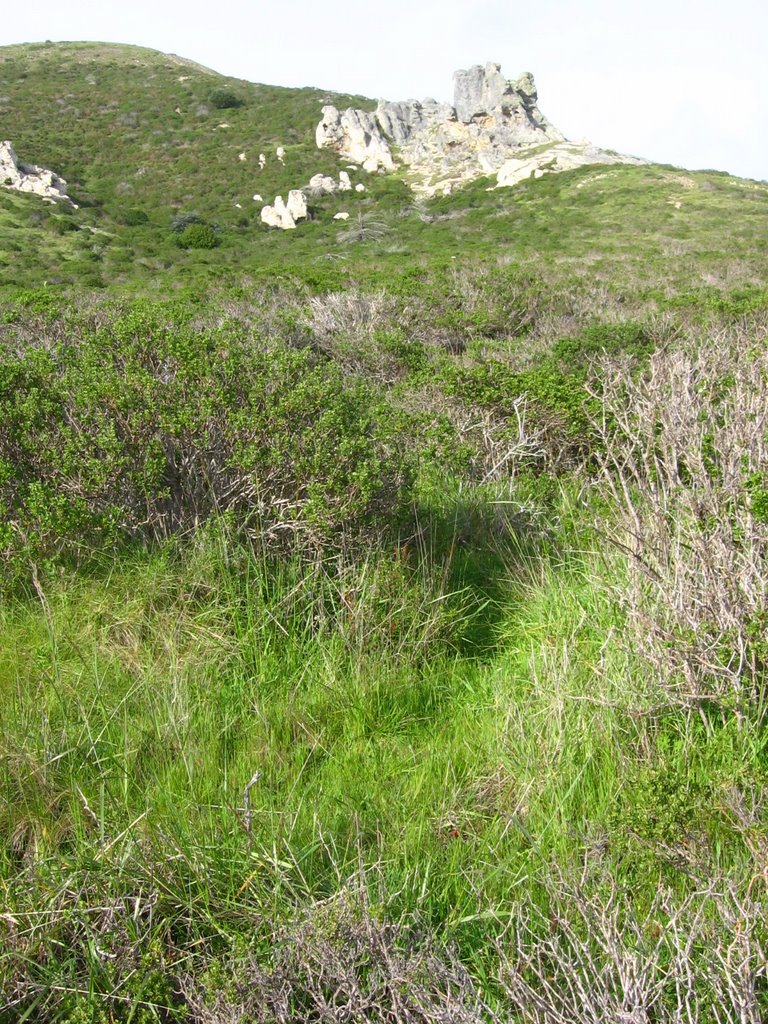
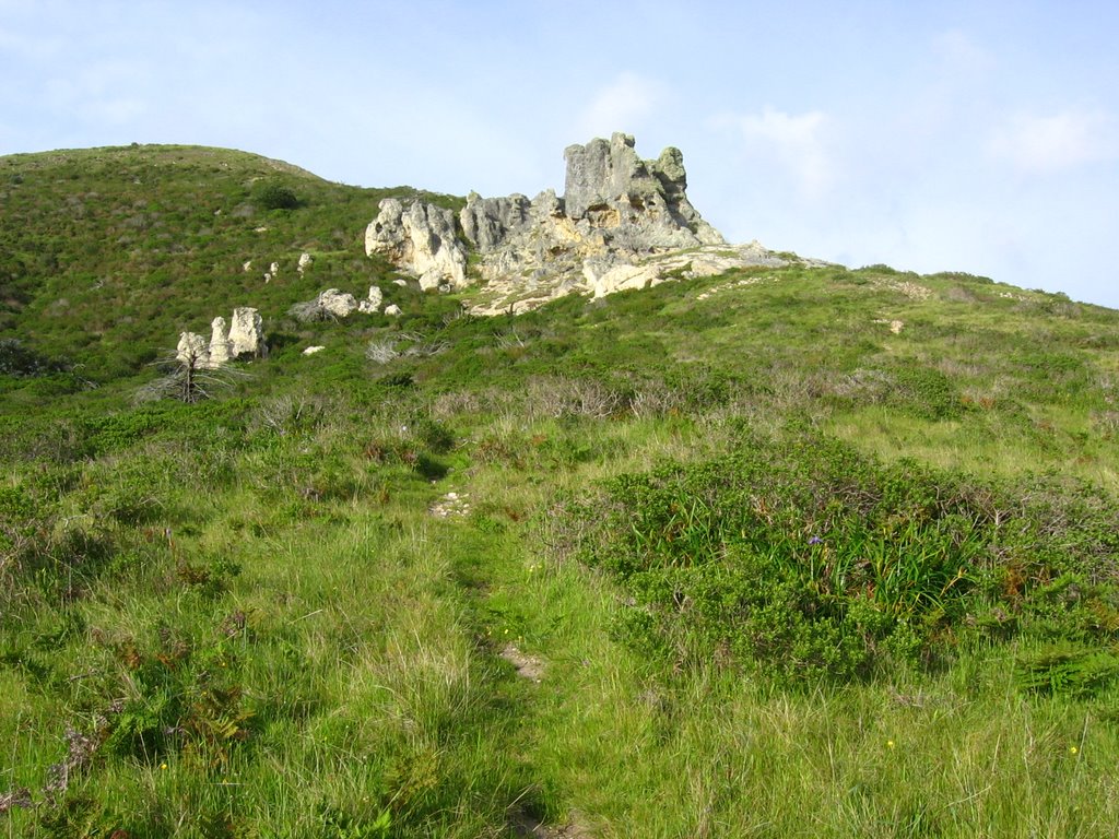 The trail is more apparent here.
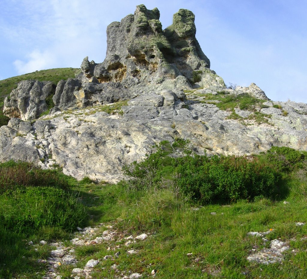 Final approach.
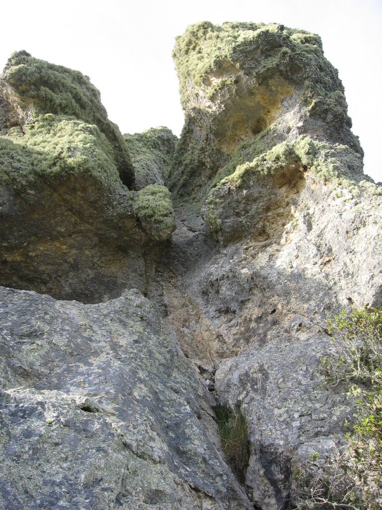 Deciding against a 30+ ft scramble to the top.
Location
Elevation: 332 ft
N: 38 degrees 1.041 minutes
W: 122 degrees 50.853 minutes
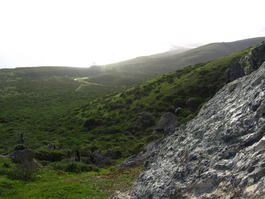 Looking at Coast Camp and Limantour Beach.
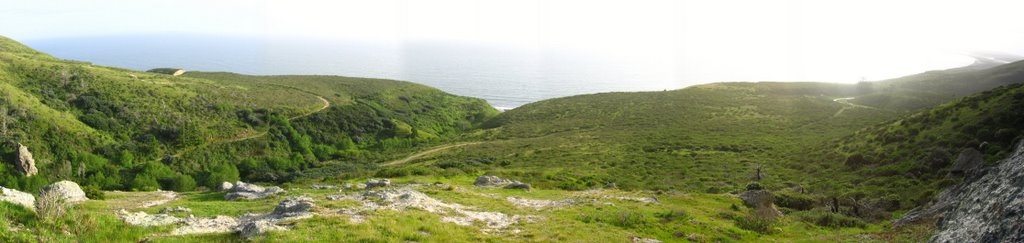 The view from the rock outcrop.
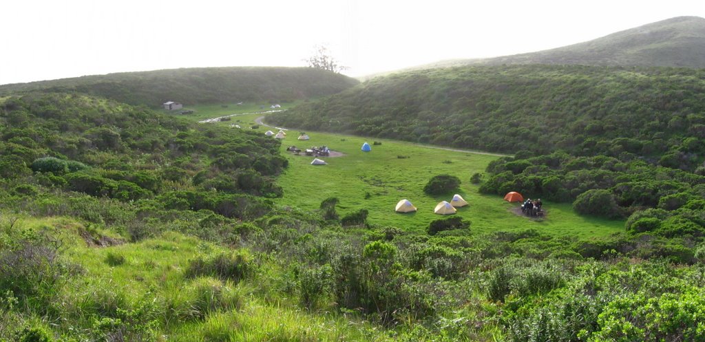 Coast Camp seen from above.
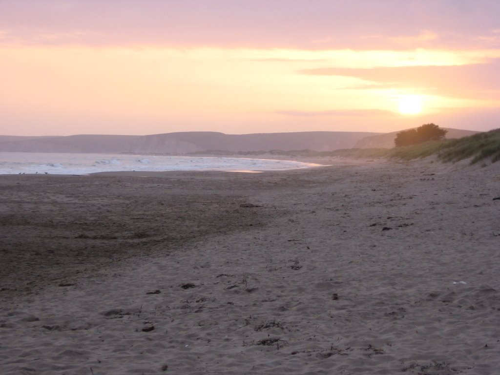 Sunset over Limantour Beach.
Epilogue:
Distance: GPS 11.55 miles (18.48 km) / TOPO! 10.72 miles (17.15 km).
Total elevation climbed: GPS + TOPO! 286 ft (529.3 m).
posted by -ben | 11:54 PM
![]()
![]()
0 Comments:
Post a Comment
<< Home