
Zoom, zoom, zoom
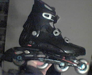
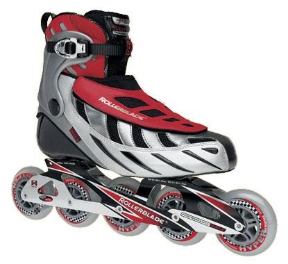
A tour of Shoreline Park, Mountain View, on inline skates. These are the Rollerblade Lightning 09 skates. While not as comfortable as my other pair, the E9 Carbons (4 wheels each), they are appreciably faster with 5 wheels each. My third pair, the much-heavier Coyotes, are only suitable for off-road inline skating or when it rains.
Maps of Shoreline Park:


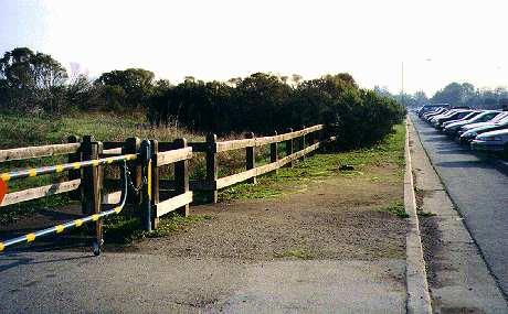
Where it begins: the parking lot at the end of San Antonio Road, beside Highway 101:
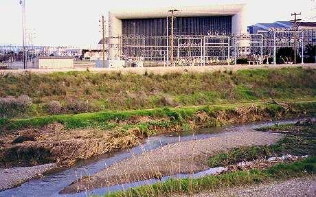
Pumping station:

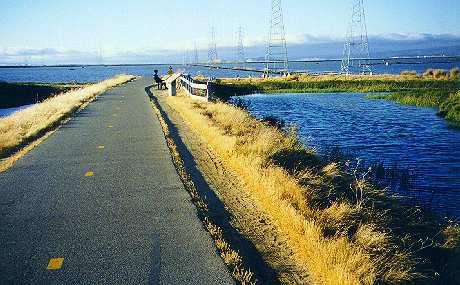
Observation platform for birdwatchers. Mount Hamilton and the city of Milpitas in the distance. Though the picture may suggest otherwise, this locale is not conducive to romantic overtures: hydrogen sulfide (H2S) from the decaying matter in the pond is a mood killer (unless the pong of rotten eggs turns your date on).

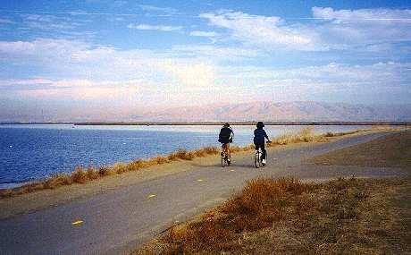
Trail running parallel to salt pond (looks like the bay itself, doesn't it?).The bay is actually a little further out.
The trail turns and heads inland at this point. With the gradient in my favor, and a stiff breeze on my back, it's pure bliss to cruise down this stretch at a good clip.
Two 90-degree turns bring me to this part of the trail beside NASA Ames Research Center (ARC).
This part of the trail is on a man-made ridge under the power lines.

Visible from the trail, this is the huge intake of the NASA 80X120 wind tunnel, the largest in the world. The intake is 363 feet wide and 161 feet high. Some of the high-voltage overhead power lines in the earlier pictures lead to the wind tunnel complex. The fan motors that power the wind tunnel require 106 megawatts of power at full-speed. The fans generate approximately 135,000 horsepower.
Sideview. Take note that the wind tunnel is about 1/2 mile behind the apartment complex. NASA Ames has several wind tunnels, but this is the largest. The largest is named the "80X120 Foot Wind Tunnel" because that is the cross-sectional area of the test section. This is big enough to test a full-size Boeing 737 aircraft. The wind tunnel became operational in 1987 and can test large or full-scale aircraft models with a wind velocity of up to 190 mph. The wind is created by six huge 40-foot fan blades driven by six giant electric motors. The motors can move 1 million pounds of air per second. The 80X120 foot wind tunnel is part of a larger facility, the National Full-Scale Aerodynamics Complex, which also includes an older closed-circuit 40X80 foot section that can test models at up to 345 mph. This closed circuit part of the wind tunnel has a circumference of a half mile.

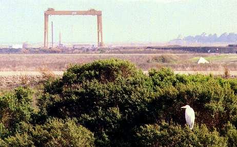
This large frame structure in the open field at NASA is an outdoor engine test stand. By its gargantuan dimensions, it is probably not for testing rice-boy engines. (For Singaporean / Malaysian readers, a local equivalent of a rice-boy vehicle is an "Ah Beng Qia"). Still, one must be careful never to give rice-boys too much credit for intelligence. E.g. cars are meant to be driven on roads, but yet, rice-boys continue to drive their economy cars into ravines, rivers, trees, bus stops, living rooms, gardens, pedestrians, etc.
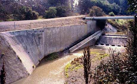
A view of the trail before it dips into an underpass under Highway 101. Stevens Creek is equipped with a small dam with a fish ladder to allow migrating fish to swim upstream. Below it, the creek flows into a concrete-lined channel.
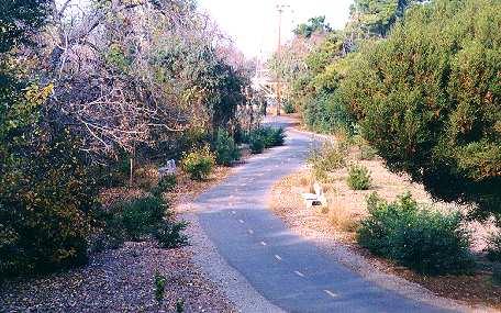
Ascending again on the other side, the trail re-emerges, sheltered by heavier foliage. During the seasons of spring and fall, insects are rather plentiful at sunset. If you go fast enough (on your inline skates or bicycle), you may pull off an impression of a windshield and watch them splatter on your Oakley lenses. Mmm... dinner...

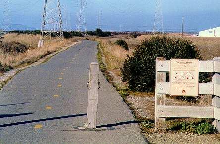
A sharp 90-degree turn forces you to slow down here.
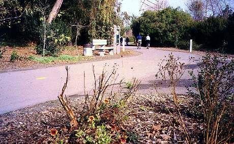
A second 90-degree turn, in short order, signals the need to slow down. This is the pedestrian crossing as the trail intersects Moffett Blvd.

Doesn't look like you are in the heart of a busy city like Mountain View, does it? The trees and foliage do a good job of creating the illusion. Highway 85 is actually on the left side.
A man on inline skates pushing a stroller across one of the many bridges over Stevens Creek, to Whisman Park and School. Since the crossing from Moffett Blvd, the trail has been on a slight positive grade (which explains the tired man).
More trails.

More lazy S-curves (great place to practice crossovers).

Another bridge over Stevens Creek.
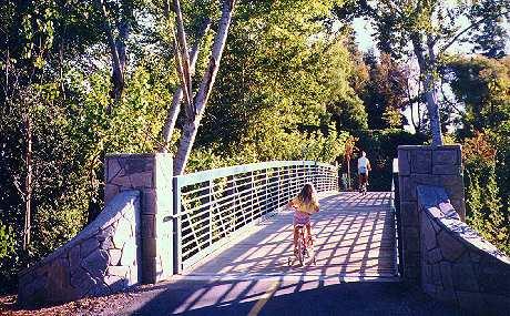
Stevens Creek. On the right, you can see the trail leading to the bridge in the preceding picture.

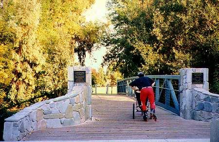
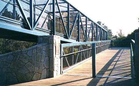
The 1,100 feet long Central Expressway Pedestrian Bridge usually marks the end of my inline skating route in Mountain View. The uneven wooden planks do not particularly make an effective surface for braking or slowing down--which makes it rather... inconvenient (or painful) when the bridge descends on the other side.
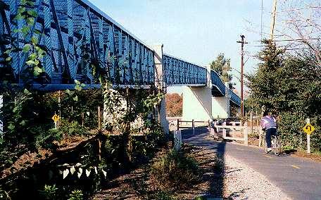
At the base of the bridge, there are stairs for pedestrians and a ramp for bicycles and wheelchairs.
Distance covered one-way, from the parking lot at San Antonio Road, to Central Expressway Pedestrian Bridge, is a little over 5 miles (8 km).
posted by -ben | 12:30 AM
![]()
![]()
2 Comments:
have u gone bananas?
This shit is bananas... B A N A N A S....
LOL! Actually, it is something I do often.
Post a Comment
<< Home